


![National Geographic United States Classic Map [Enlarged]](http://www.utahmapstore.com/cdn/shop/products/Unitedstatesclassic_compact.jpg?v=1639681486)
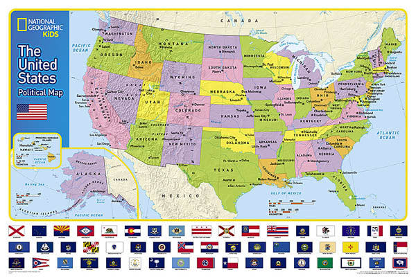
National Geographic KIDS - United States Political Wall Map
M-US-KIDS-POLITICAL
In stock
Wall Map
$13.95
Expertly researched and designed, National Geographic's The United States for Kids wall map is an enticing and engaging United States map perfect for classroom, home or library. Recommended by geography educators for ages 7 – 12, this map features an optimized map design for readability and easy, intuitive learning. All 50 states and the District of Columbia are shown with their official, colorful flags, The flags are arranged in alphabetical order for ease-of-use. Expertly researched, The United States for Kids map is an essential reference tool for today's well informed student of geography.
Size: 24" x 36"